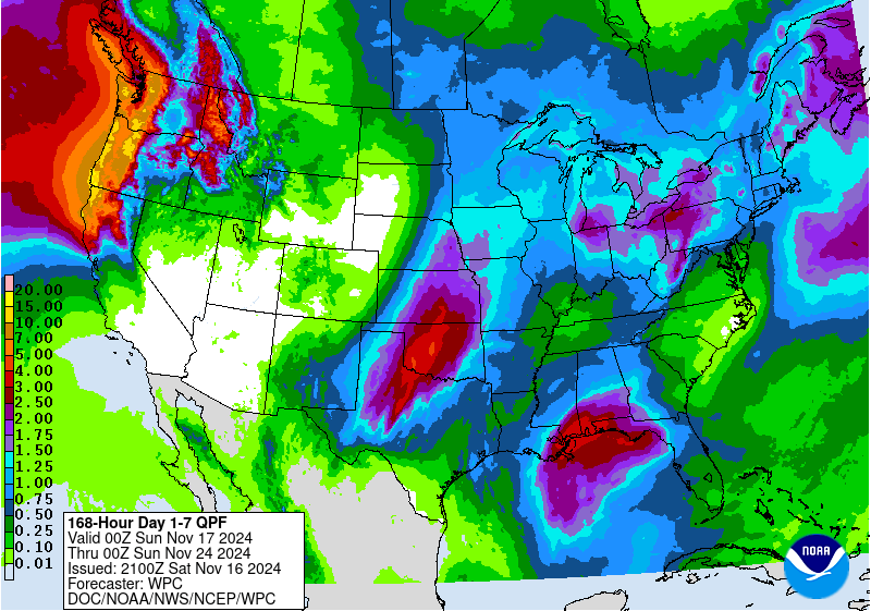
Across most of the most of the Lower 48 the flood risk is very low. The National Water Center has highlighted a portion of the Southern Plains and Pacific Northwest Coast at risk for flash, small stream, and urban flooding Sunday through Monday as a trough ejects from the Baja Peninsula and brings severe storms with potential for high rainfall intensity which may overwhelm local drainage.
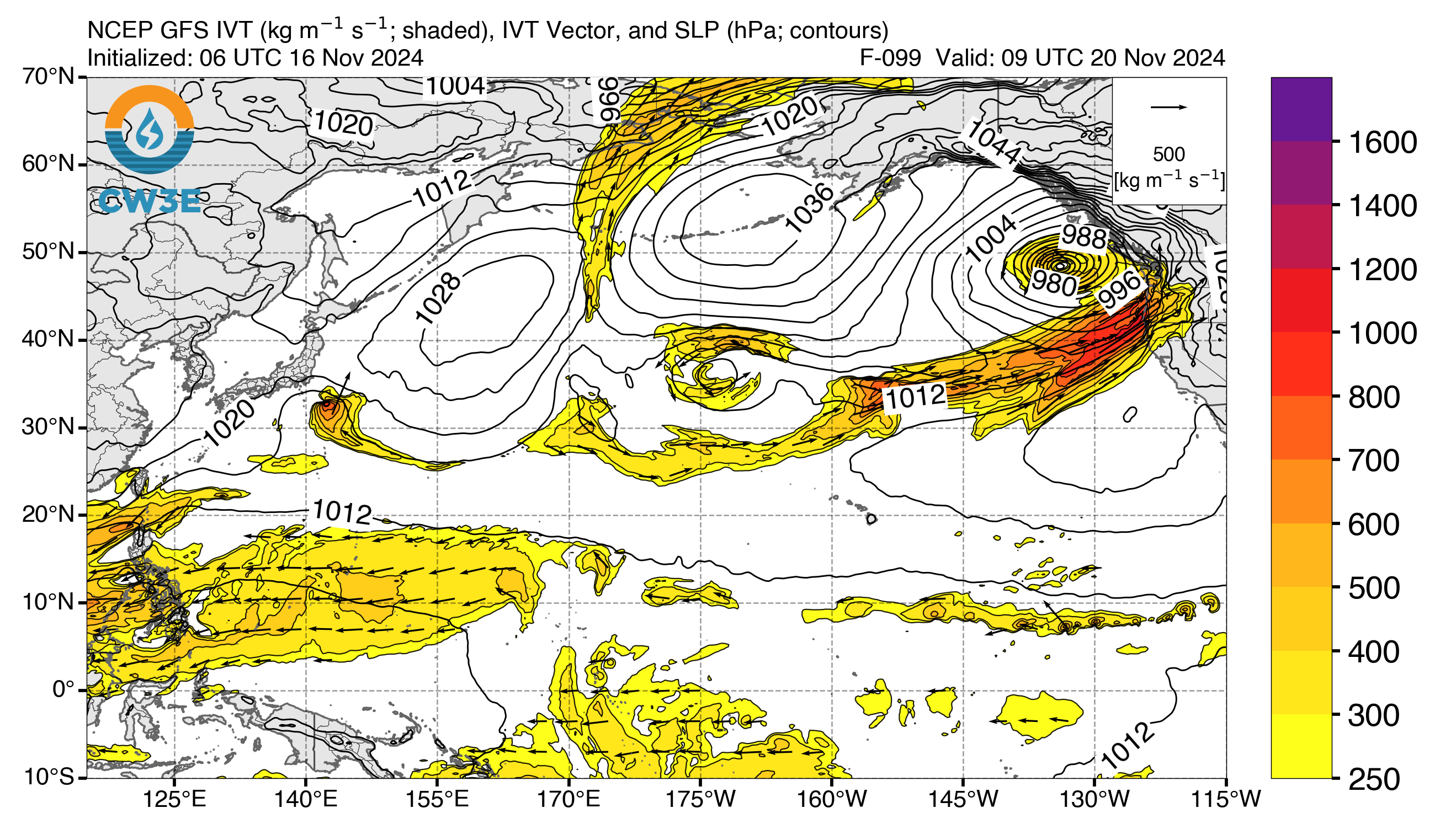
Perhaps the most intriguing area to watch this week will be the Pacific Northwest. This weekend will be a soggy one with a very week atmospheric river coming ashore, but a second more potent atmospheric river is en route with rain beginning on Wednesday and bringing more than 7″ across much of the Washington and Oregon Coasts.
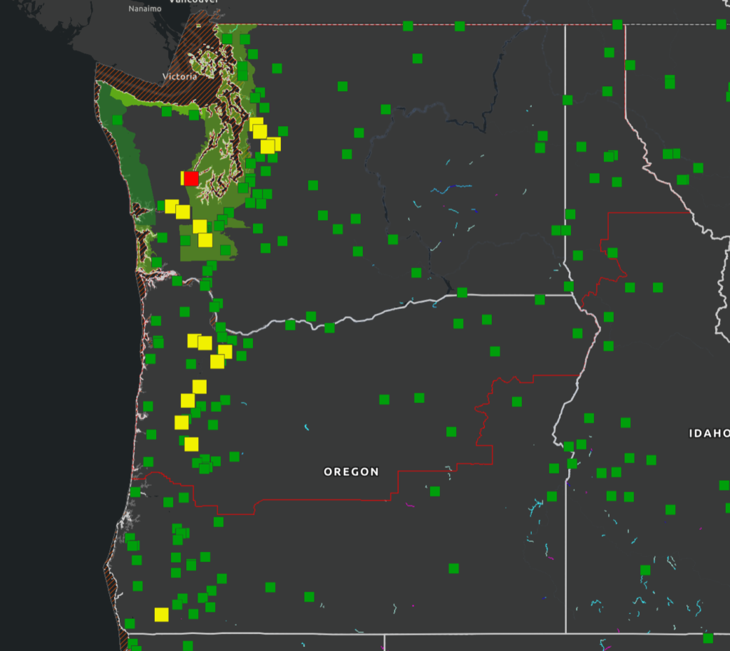
The ECMWF forced Global Flood Awareness System (GloFAS) is signalling widespread 5 year Annual Recurrence Interval (ARI) stream flow along the southern Oregon and northern California coasts. Currently the ensemble solutions for stream flow in the region are pointing toward low-end flood potentials with most members resolving between the 2 and 5 year ARI with less than a 50% chance of exceeding the 5 year ARI. Meanwhile, the GFS forced National Water Model is signaling relatively high stream flow in a much more confined area along small streams of the Washington/Oregon coast.
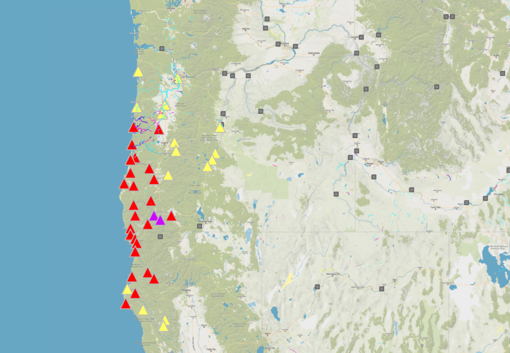

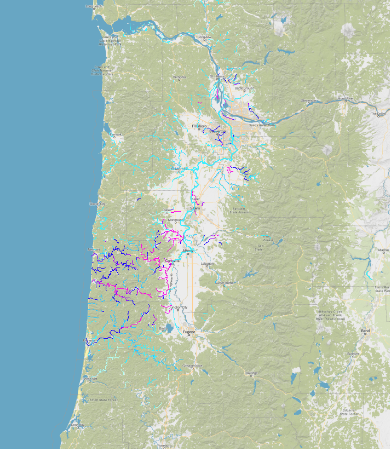
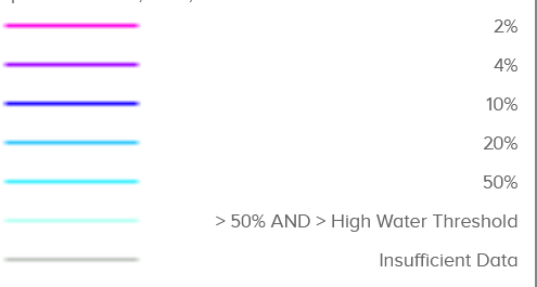
It’s interesting to compare GloFAS and NWM signals because the models are just so different. GloFAS only models larger streams whereas the NWM models headwater streams to continent draining streams. So, in this case, with low-end signals coming from GloFAS and NWM signaling high-end responses (stream flow > 2% Annual Exceedance Probability) on headwater and small-streams, we really get a better idea of the type of flooding, if any, to expect.
The Northwest River Forecast Center does have forecasts suggesting rises up to Action stage are possible on their rivers in this region. The Skokomish River (forecast for moderate flood) is a sensitive river and will likely see moderate flood again by the end of the week.

These atmospheric rivers will also bring high elevation snow to the region. SNOTEL pillows across the Cascades are recording much above normal snowpack for this time of year.
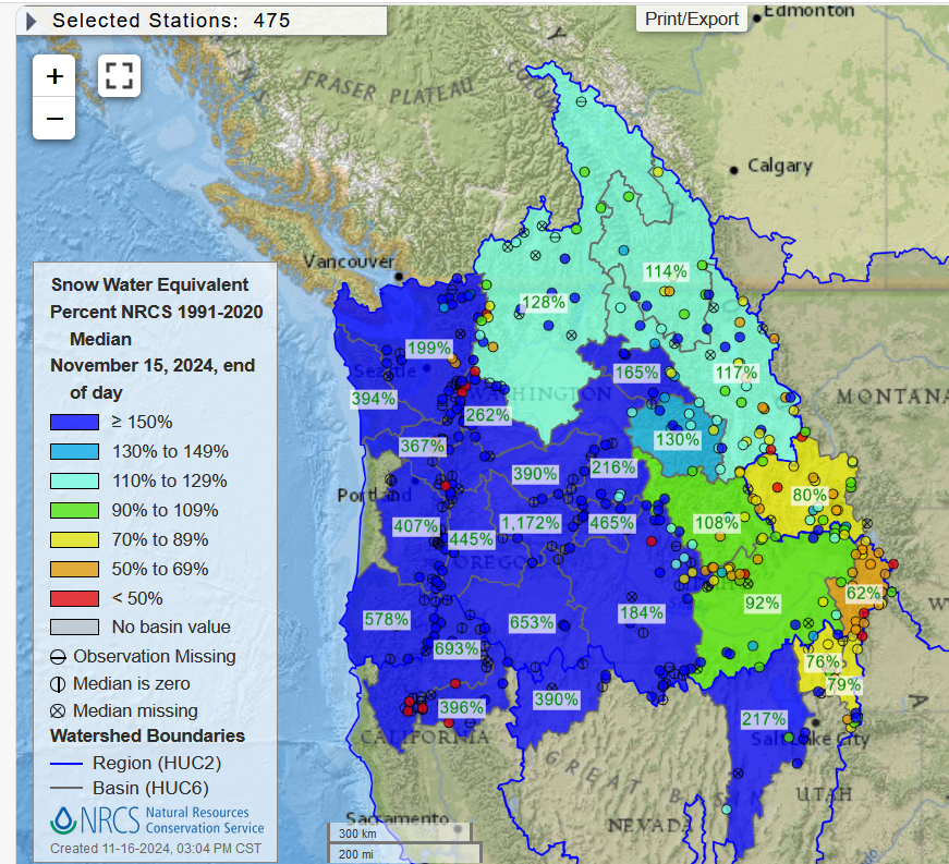
It’s still too early to really be thinking of peak snowpack levels and how much water will be available from snowmelt later next year. The last several years we’ve seen this pattern of good snowpack starts and then have a warm atmospheric river roll through in December and melt a significant portion of the early season gains.
If models change significantly from this set-up, this post will be updated with new information.
No responses yet